Shayta
| Shayta | |
|---|---|

Shayta
|
|
| Coordinates: Lua error in package.lua at line 80: module 'strict' not found. | |
| Country | |
| Governorate | Quneitra |
| District | Quneitra District |
| Region | Golan Heights |
| Destroyed | 1971-72 |
| Elevation | 1,189 m (3,904 ft) |
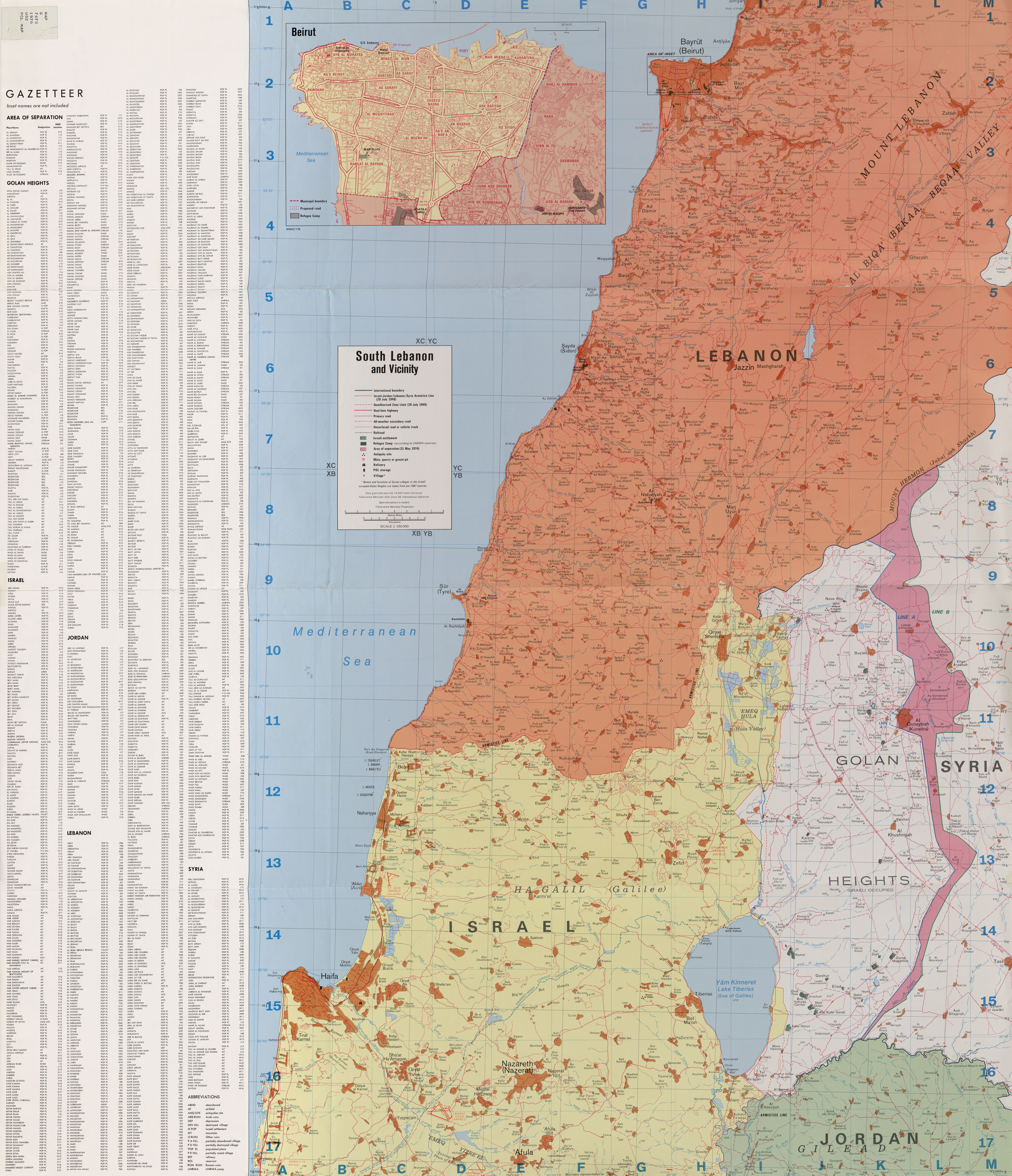
Shayta, also spelled Suhayta, S'heita or Su’heita, was a Syrian village located in the Golan Heights.[1] It was one of only six Syrian villages in the Golan Heights still populated following the Six-Day War.[2] After Israel occupied the area in 1967, Shayta's population census was 176 people, down from 200 in 1960.[3] In 1967, Shayta was partially destroyed and a military post built in its place.[2] Israel completely destroyed the village in 1971-72 and its population was forcibly transferred to the neighboring village of Mas'ade.[2][4] Today, its former inhabitants are still campaigning for the return to their village.[2] Shayta was located near the ceasefire line between Syrian and Israeli forces.[1][4]
See also
References
<templatestyles src="Reflist/styles.css" />
Cite error: Invalid <references> tag; parameter "group" is allowed only.
<references />, or <references group="..." />| Quneitra District |
|
|
|---|---|---|
| Fiq District | ||
| Syrian localities in Israeli-occupied Golan Heights |
||
| Depopulated villages |
|
|
- ↑ 1.0 1.1 South Lebanon and Vicinity 1976
- ↑ 2.0 2.1 2.2 2.3 Lua error in package.lua at line 80: module 'strict' not found.
- ↑ Lua error in package.lua at line 80: module 'strict' not found.
- ↑ 4.0 4.1 Sakr Abu Fakhr, "Voices from the Golan", Journal of Palestine Studies, Vol. 29, No. 4 (Autumn, 2000), University of California Press, p. 7.