Bere Island
| Native name: an tOileán Mór Oiléan Béarra |
|
|---|---|
|
Bere (Ireland)
|
|
| Geography | |
| Location | Bantry Bay |
| Coordinates | Lua error in package.lua at line 80: module 'strict' not found. |
| Archipelago | British Isles |
| Area | Lua error in Module:Convert at line 1851: attempt to index local 'en_value' (a nil value). |
| Length | 10.1 km (6.28 mi) |
| Width | 2.9 km (1.8 mi) |
| Highest elevation | 270 m (890 ft) |
| Highest point | Knockanallig |
| Country | |
| County | County Cork |
| Demographics | |
| Population | 210 |
| Ethnic groups | Irish |

Bere Island Irish: Oiléan Béarra, meaning "bear island", although officially called An tOileán Mór meaning "the big island") is an island off the Beara Peninsula in County Cork Ireland. It is roughly 10 km x 3 km in dimension, with an area of 17.68 km², and has a population of 210.[1]
Legend says that the island was named by a 2nd century king of Munster, Mogh Nuadat, in honour of his wife, Beara, the daughter of Heber Mór, King of Castile.
Contents
Geography
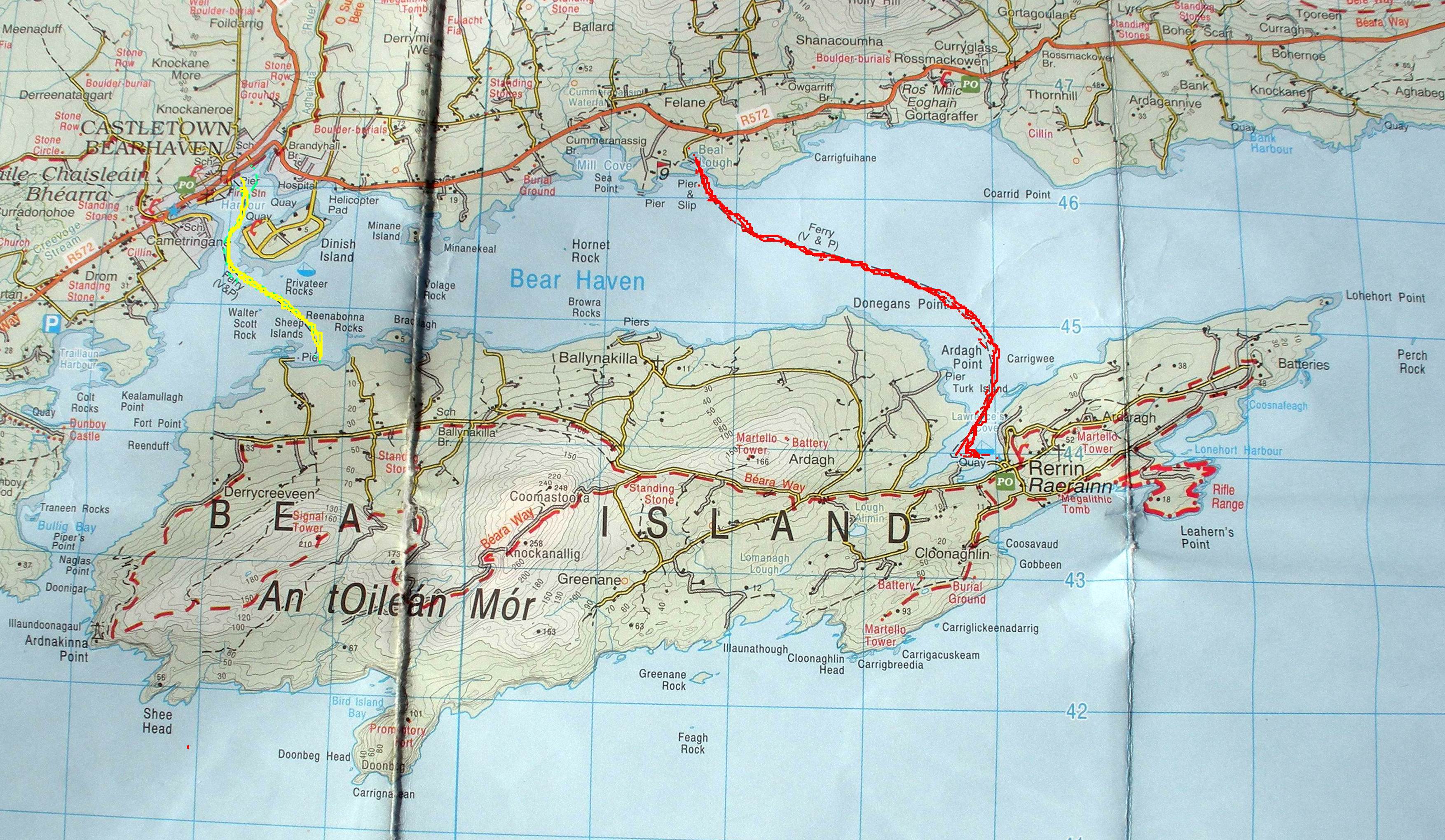
The island is located between Berehaven Harbour and Bantry Bay in the western part of County Cork, about 1. km off the port of Castletownbere. It belongs to the civil parish of Killaconenagh (Cill Eacha Naoineach) within the Barony of Bear (Béarra). It is served by two ferries, which can carry light vehicles. The highest point on the island is Knockanallig (270 metres). The main harbour is Lawrence Cove, near the main village of Rerrin (Raerainn), toward the eastern end of the island. The church and its graveyard are located in Ballinakilla.
Subdivision into Townlands
Ten of then 75 townlands of the Civil parish of Killaconenagh are located on the island:
- Ardra West
- Ardra East
- Ballinakilla - with St Michael's Roman Catholic church and graveyard. Located nearby is a pub.
- Cloonaghlin West
- Cloonaghlin Upper
- Cloonaghlin Lower
- Derrycreeveen
- Greenane
- Ardagh
- Rerrin
Demographics
The current population is approximately 200, but the past population was significantly higher. At the time of the 1841 census the population was 2,122 but by the 1851 census the population had decreased to 1,454 due to The Great Famine. The population decline continued in line with the national trend for emigration throughout the 19th and 20th centuries. Unlike many of the other islands off the Irish coast, the inhabitants of Bere Island are native speakers of English. Irish ceased to be the spoken language of the majority of the native islanders between 1880 and 1885.
History
Early traces of human occupation include Megalithic tombs and Standing Stones. The island was the property of the O'Sullivan Bere clan and remained so until the power of the Gaelic chieftains was finally broken in 1602. This period also saw the first military interest in the island when Sir George Carew ordered a road to be built across the island to transport the pro-English forces to the Siege of Dunboy.
In December 1796 a French fleet entered [Bantry Bay] and Berehaven Harbour, led by General Hoche under the direction of Wolfe Tone, the leader of the United Irishmen. The famous French longboat landed in Bere Island which is now in the National Museum of Ireland. Adverse winds prevented the main force landing and eventually caused the fleet to disperse and return home. In August 1798 there was a further invasion attempt, at Killala in County Mayo, following the Irish Rebellion of that year. The result of these events was that the British authorities reviewed their defensive plans and in 1803, with the country once again at war with France, Lieutenant-Colonel William Twiss was sent to Ireland to draw up a plan of defence for the country. As part of this review he was directed to examine what security could be given to Bantry Bay.[citation needed]
Rear-Admiral Sir Robert Calder, who commanded the naval squadron based in Castletownbere Port wrote to the Rt. Hon. William Wickham on 22 December 1803 to request protection for his victualers and store ships, which were to be based at the Berehaven anchorage to supply his squadron. Wickham agreed that protection for the ships was necessary and instructed Lord Cathcart to order his engineers to carry out the work. The Bere Island towers were reported as ready on 2 February 1805 and were therefore probably the earliest Irish towers to be completed. The four, all circular in shape and built of rubble masonry, were sited to defend the anchorage between the mainland and the small harbour of Lawrence Cove on Bere Island. In addition to the Martello Towers, a signal tower, a barracks for 2 officers and 150 men, a quay and storehouses were also constructed. After the end of the Napoleonic Wars there followed a period of military stagnation. This ended in 1898 when the British Military raised a compulsory purchase order on large areas of the island in order to construct additional fortifications in order to protect the British Fleet at anchor in Berehaven Harbour.[citation needed]
During the Anglo-Irish War some Irish republicans were interned on Bere Island, including Canon William Kennedy, head (from 1919-1932) of St Flannan's College, Ennis. In 1922, under the terms of the Anglo-Irish Treaty that followed the Irish War of Independence, the British withdrew from most of Ireland but three deep water Treaty Ports, at Berehaven, Queenstown (renamed Cobh), and Lough Swilly, were retained as sovereign bases until 1938.
Archaeology
- Battery, Ardaragh West, Cloonaghlin West
- Circular Enclosure, Greenane
- Hut Site, Ardaragh West
- Martello tower, Ardaragh West, Cloonaghlin West (also Telegraph Station)
- Promontory fort
- Ringfort, Cloonaghlin West, Greenane
- Signal Tower, Derrycreeveen
- Standing Stone, Greenane
- Collapsed Wedge Tomb, Ardaragh West
See also
References
http://ga.wikipedia.org/wiki/Oil%C3%A9an_B%C3%A9arra#Ainmneacha_don_oile.C3.A1n
External links
Lua error in package.lua at line 80: module 'strict' not found.