File:Boston 1630 1675.jpg
From Infogalactic: the planetary knowledge core

Size of this preview: 648 × 600 pixels. Other resolutions: 259 × 240 pixels | 1,566 × 1,450 pixels.
Original file (1,566 × 1,450 pixels, file size: 648 KB, MIME type: image/jpeg)
Summary
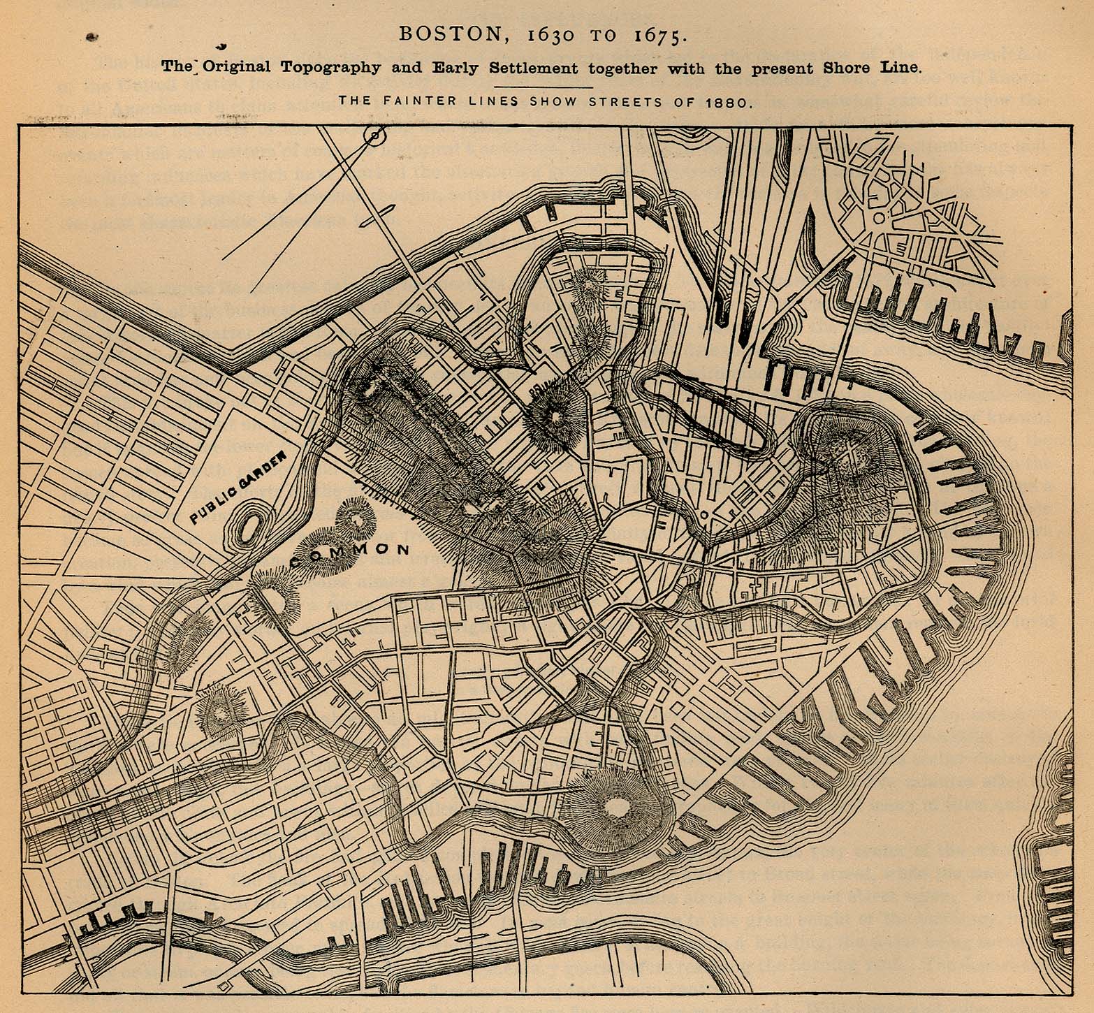
The shoreline and topography of Boston, Massachusetts, as it was from 1630-1675, overlaid on an 1880 street map.
- Source: http://www.lib.utexas.edu/maps/historical/boston_1630_1675.jpg
- License: Public domain according to http://www.lib.utexas.edu/usag
Licensing
Lua error in package.lua at line 80: module 'strict' not found.
File history
Click on a date/time to view the file as it appeared at that time.
| Date/Time | Thumbnail | Dimensions | User | Comment | |
|---|---|---|---|---|---|
| current | 06:58, 17 January 2017 | | 1,566 × 1,450 (648 KB) | 127.0.0.1 (talk) | The shoreline and topography of Boston, Massachusetts, as it was from 1630-1675, overlaid on an 1880 street map. * Source: http://www.lib.utexas.edu/maps/historical/boston_1630_1675.jpg * License: Public domain according to http://www.lib.utexas.edu/usag |
- You cannot overwrite this file.
File usage
The following page links to this file: